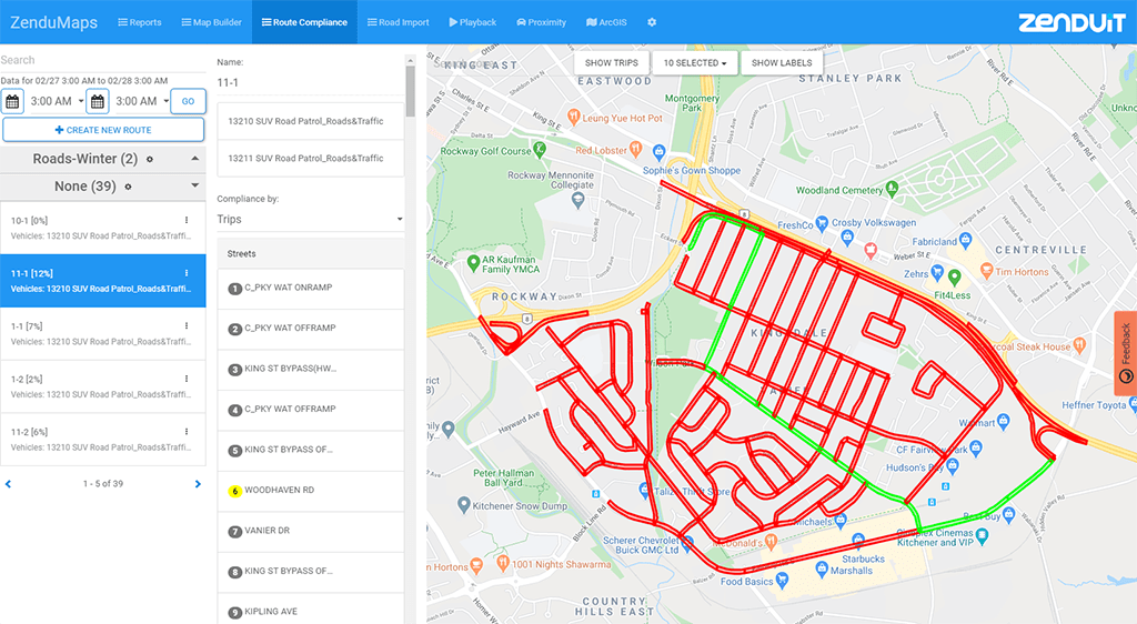
ZenduMaps is a ZenduIT-made mapping solution that allows fleets to not only have an internal view of their asset location activity through MyGeotab, but also offer links for public use that only show predefined asset activity. Mississauga, ON – July 2, 2020 – ZenduIT, a leader in commercial telematics has announced the release of […]
Tag: custom mapping
Introducing ZenduONE: Your Next Solutions Marketplace
In the past, businesses have found that they see great success when all of their applications and software solutions are organized within one platform. This is the same for those who rely on using IoT telematics tools to not only remain compliant to current regulations, but rely on it to streamline operations and stay productive. […]
Geographic Information Systems: What It Means For Businesses
Typically, when businesses are provided with large amounts of information, they are able to better manage their organization and as a result, increase profits. With advancing technology many are currently experiencing how new innovations that provide them with more information can move company growth forward. One innovation that is worth highlighting is GIS technology, or […]


