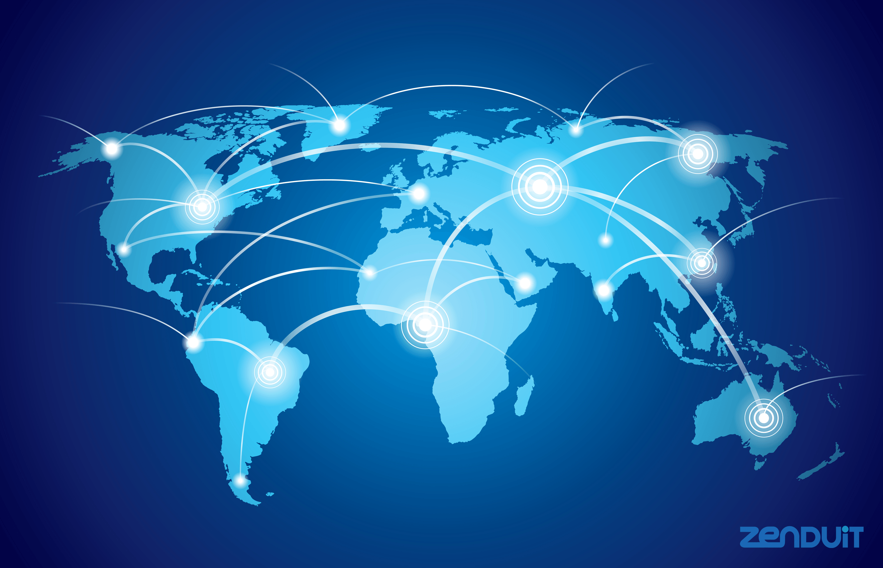
The rise of the digital map which came about in the mid-1990s, was a game-changer for transportation solution providers and consumers. The change from the physical map to a digital map of any neighborhood or city in the world was a huge step forward. It was a real godsend for the transportation industry, suddenly, drivers could better plan routes, pickups, and deliveries, saving valuable time and money.
But has it all stopped there?
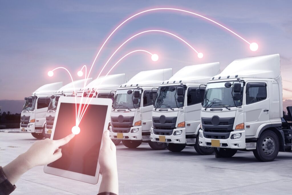
Technology experts believe that tracking and mapping technology is still growing and that there is more to come in the near future. We’ve come a long way when it comes to tracking technology over the last 20 years. Drivers no longer have the need to unfold paper maps to plot their next trip; as new digital mapping technology puts better tracking information in the hands of a driver within a few short seconds. More importantly, the future of mapping technology continues to grow, maybe not at such a rate as it has before, but app designers do plan on developing newer technologies that will bring even more benefits. Let’s look at a few of these future changes.
Location Pins
One such area of future development is the plan to go further with the pin. We all know of the location pin and it’s not likely to go away. It is too easy to use, but the area around the pin will develop further. In the future, we will see the buildings that the pins represent go through radical changes in style and in clickability. When you zoom into a location using your tracking app, you’ll start to see the walls and the surrounding buildings become more distinct and even three dimensional. The purpose is to offer you a real-time view of the building and of surrounding businesses or landmarks.
Traffic Data
This is a feature now available on many of the newer tracking apps, and one that anyone who is in the transportation industry truly values. Currently, this traffic data is usually a summary of the data received from local traffic camera feeds. And while current traffic information is certainly valuable, this feature will develop even further in the future, and offer real-time streaming data with concise detail.
Real-Time Mapping
While many people are not big fans of self-driving cars and drones, these new products will continue to develop the mapping industry. Interestingly enough, the cameras on these vehicles will feed information such as road conditions and newly mapped areas back to the tracking apps in real-time. This will result in a solution to some of the digital mapping issues we are facing now. This will also allow us to map temporary locations such as: fairs, festivals, farmers markets and sporting events.
A Connection Between the Physical World and Virtual World
We should all keep an eye out for a very interesting new map technology product, although this may not have a direct relationship to the transportation industry, it could be a lot of fun. It is the overlapping of the physical and virtual world, a trend that is already happening in the consumer products industry. This new augmented reality opens up a new avenue for billboard advertisers. We might soon see future virtual billboards that rely on new digital mapping technology.
Ride-Share Development
Some experts, such as a company called Presence Orb, believe they can develop mapping technology that offers real-time information on the crowd size of buses, trains, and subways. There are still kinks to work out, but it is a real possibility.
Parking Space Information
Not only can current tracking apps easily take you to your destination, but in the near future they will also tell you where there are free parking spaces, and where parking spaces may quickly free up. This will come from data analysis on area parking behaviors.
Environment and Energy Consumption Information
Mapping apps already offer a limited amount of information such as environmental impact, energy consumption, and greenhouse gas emissions associated with different travel routes. This is an area that will grow as we see a greater need to reduce emissions and travel along safer routes.
It’s important to note that we can already see some of this new technology implemented in various tracking apps (those that are more detailed than the commonly used Google Maps). It is only logical to think that this technology will continue to bring us interesting and cost effective solutions in the future.
Sources:
PC World: A Brief History of GPS
The Guardian: 10 Things You Need to Know About the Future of Maps
Search Engine Land: The Future of The Map
US DOT Federal Highway Administration: Smartphone Applications Promoting Transportation Efficiency & Congestion Reduction
Image Source: Designed by Freepik


